Getting Into "Hot Water"

Tuesday, January 30, 2007

El Ocote


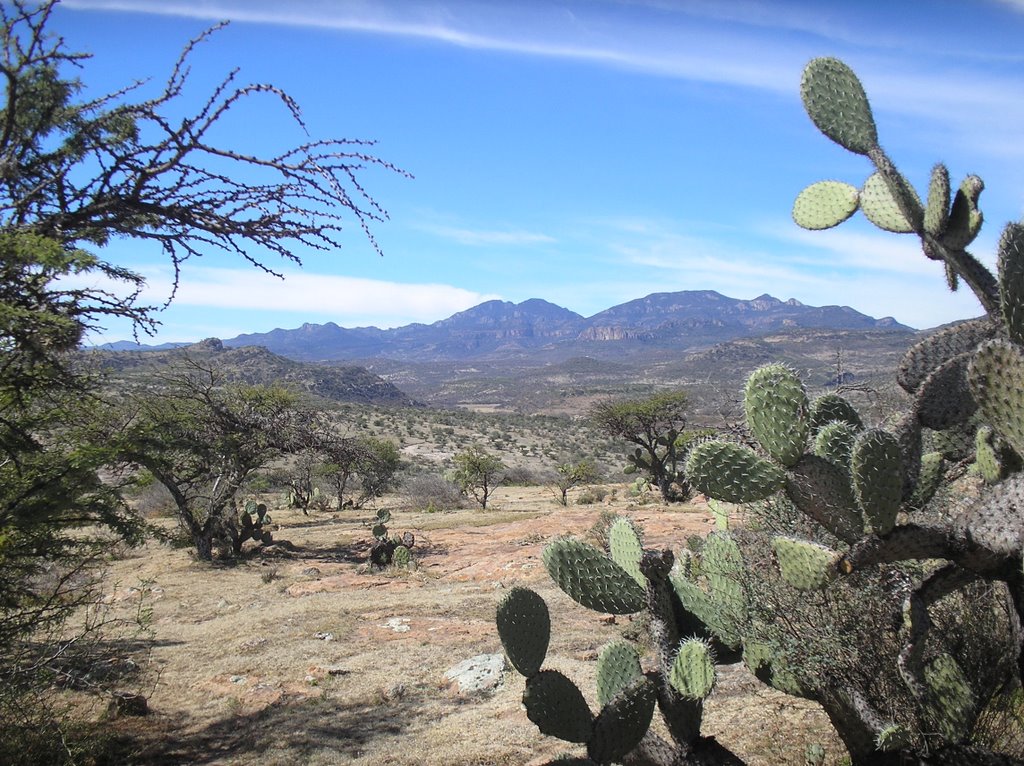
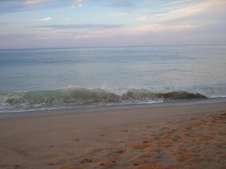
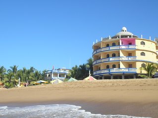
How one may imagine all of México to look
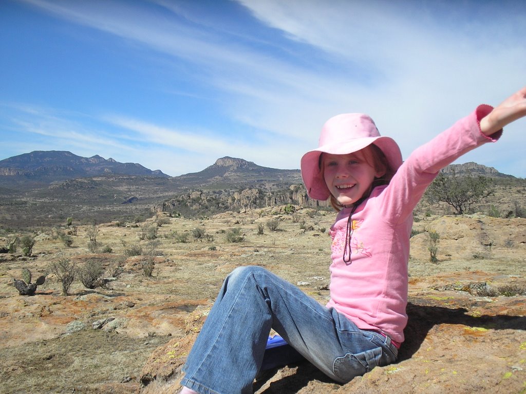
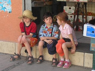


Intrepid explorer


This is a photo of the hill just above the rock paintings. Can you see the multitude of wasp nests? Or maybe they're killer bee nests. We're all still alive at any rate.


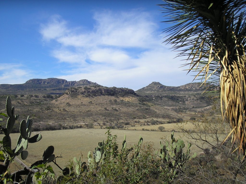
A view of the valley below the famed rock paintings.


Rock paintings? What rock paintings? Ok sorry, the photos that I took of the petroglyphs at El Ocote just didn't do them justice. Even with the naked eye, the paintings were difficult to discern.
On Sunday we took a little road trip with Angie and Leo to a village about 30 km south-west of Aguas called El Ocote. The main attraction is of course the nearby petroglyphs.
Since it was past noon when we arrived and we felt we had to fortify ourselves for the long treck ahead, we started by having a picnic beside the small man-made lake. It was so-o-o peaceful there and clean and did I say peaceful? And the food we packed was pretty yummy to boot.
So after a leisurely lunch we hiked up a nearby hill covered with rocks and cactus to the area we thought we'd find the noted rock drawings. Did I mention we had to scale a fence into a restricted area? Anyway, after much searching and a short rest at the top (where we played "house" briefly in what looked like the foundation of a small stone structure), we headed back down the hill and over the fence to discover that indeed we were looking in the wrong spot. We only had to walk another 300 m to the bright orange gate, which we had to climb over and then up a short path to the wall of rock and at last the paintings.
The paintings looked to represent humans and animals. They were red in colour, though as I mentioned, faded. They are said to have been created prior to the Spanish arriving in the area (pre, mid-1500's). Likely sometime in last year, some clever person had climbed over the fenced-in area and done their own rendition of rock art with a piece of chalk.
Despite someone's obvious lack of respect (insert other descriptive words here), we were all suitably impressed. And it was a great way to spend a sunny Sunday afternoon.

Friday, January 19, 2007

Sunrise at the Pacific

Monday, January 15, 2007

Driving by intuition

“Guadalajara, Guadalajara…”, as the famous mariachi song goes, is a city of about 4 million inhabitants, the largest after the capital.
We had to drive through the big G recently on our way to the Pacific coast, and though the road to G was plenty wide and fast (and cost more than a few pesos), once you get to the outskirts there is no way to by-pass it. You literally have to drive right into the middle of the darned thing. Ak! And so…. just follow the signs, you say.
I guess I first need to explain the distrust that takes root after driving in México for a while. Lack of signage is one problem. Or lack of visible, readable signage, should I say? Signs that lie are another problem. You see a sign that says Colima is 173 km away. Then after driving for 20 km, you see another sign that says Colima is 172 km away.
If you’re driving along you may be looking for a turn-off that will plop you onto the cuota (paid road) to take you to the next major city along your route…and then… aha, there’s a sign with an arrow indicating the turn is the next left. Only when you get to the next left, the sign announces a completely new destination – a city you didn’t see on the map. Is this your turn? Quick, check the map! Oops too late!
So after a while you develop a sixth sense navigating cities. This is where the turn should be, so let’s take it! This street should be_____________ (if we could only find the street sign), so turn right here! Well we should be roughly travelling west (let’s see, where’s the sun?), so let’s turn left at the next lights.
Driving by intuition, I call it. And hey it works, most of the time. We navigated our way through Guadalajara, twice! (once even happened upon a Starbucks by accident – getting semi-lost isn’t always so bad)

Wednesday, January 10, 2007

Which way to the beach?


Our hotel, Luguna del Tule in
San Patricio-Melaque


Serious sand activities


Jackson, Grady and Lucinda in Melaque
discussing where to go out to dinner


Sunset over the Pacific from our hotel balcony

The quintessential beach holiday: sun, sand, and surf. To say that our time in San Patricio-Melaque was perfecto would be an understatement. (If you're looking for Melaque on a map, it's between Manzanillo and Puerto Vallarta on the Pacific Coast)

We enjoyed three full days and four nights with our friends from Toronto (Kristi, Greg, Jackson and Grady) at the quiet Bungalows Laguna del Tule hotel right on the Pacific Ocean. The hotel came complete with a large swimming pool (avec swim-up bar), it's own restaurant, a lagoon to the east where the iguanas hang out (and apparantly some crocs too), and it's fair share of Canadian guests.

Some of our activities: a walk into dusty but quaint downtown Melaque, a visit to the circus, (which happened to be in town) dinner out at Ava's on rib night, seeing the festival of the Three Kings on January 6th in the main square of Melaque along with most of the town residents and tourists, a drive to nearby Barra de Navidad to see the surf and surfers, watching the kids perform their own circus show and of course plenty of lounging on the beach.

Christmas photos


Max (the littlest von Boetticher) upon
his arrival in México.


Desparados at the top of Cerro de la Bufa, Zacatecas circa 1910.
That's Pancho Villa on his horse.
Can you recognize the other players?


Christmas Eve dinner of pozole and tostadas

Not shown: Max, Sabine, or Galleta the cat


(thanks to Angie and Leo for letting us use their place for dinner that night)


Nativity Scene (probably the highlight of this year's Christmas)

Written and directed by Lucinda
Sheep: Omi
Angel: Lucinda
Shepherd: Sabine
Mary: Karrin
Baby Jesus: Max

Not shown: The Three Kings: Johnny and Joseph: Chris